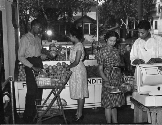
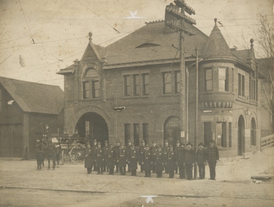
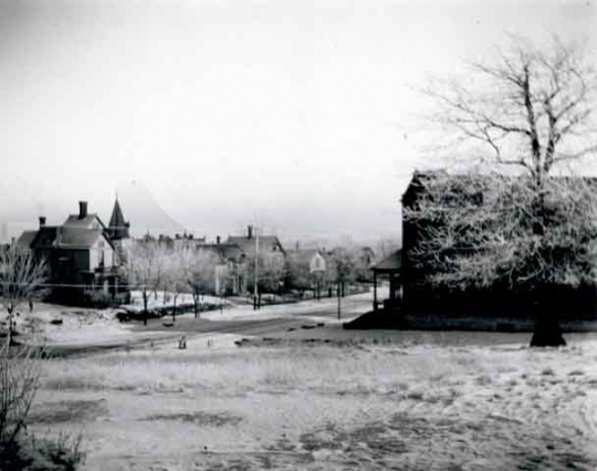
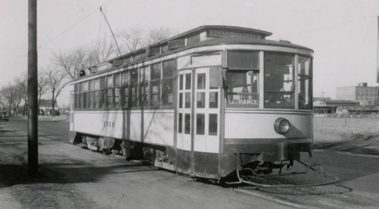
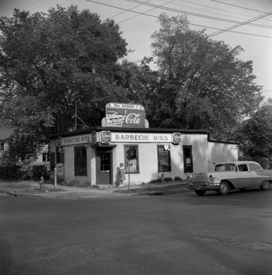
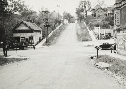
Rondo Neighborhood, St. Paul

Bibliography
Altshuler, Alan A. The City Planning Process: A Political Analysis. Ithaca, NY: Cornell University Press, 1965.
Credjafawn Social Club records, 1927-1971
Manuscript Collection, Minnesota Historical Society, St. Paul.
Description: Constitution, officer and member lists, minutes, reports, financial records, correspondence, announcements, and other papers relating chiefly to the social activities of this black recreational club founded in 1928. Included also are some personal papers of John R. Lawrence, a club founder and president, and some financial records of the Club's Credjafawn Credit Union.
http://www2.mnhs.org/library/findaids/P732.xml?return=q%3Dcredjafawn%2520social%2520club
Saint Paul Historical. Hallie Q. Brown Community Center.
http://saintpaulhistorical.com/items/show/260
Fairbanks, Evelyn. The Days of Rondo. St. Paul: Minnesota Historical Society Press, 1990.
Nathanson, Iric. “Linking the Twin Cities: In 1968 the Attention Was On I-94.” MinnPost, June 13, 2014.
https://www.minnpost.com/politics-policy/2014/06/linking-twin-cities-1968-attention-was-i-94
Wedin, Carolyn. “Harlem Renaissance West: Minneapolis and St. Paul, the ‘Twin Cities’ of Minnesota.” In Harlem Renaissance in the American West: The Negro’s Western Experience. Edited by Bruce A. Glasrud and Cary D. Wintz. New York: Routledge (Taylor and Francis Group), 2012.
Yuen, Laura. “Central Corridor: In the Shadow of Rondo.” MPR News, April 29, 2010.
https://www.mprnews.org/story/2010/04/20/centcorridor3-rondo

Related Images


Chronology
1872
1892
1926
1928
1929
1930
1940
ca. 1943
1949
January 1956
May–June 1956
1957
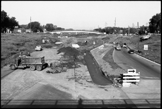
December 9, 1968
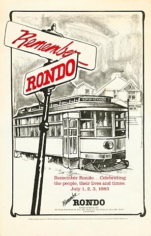
July 1983
September 9, 2006
Bibliography
Altshuler, Alan A. The City Planning Process: A Political Analysis. Ithaca, NY: Cornell University Press, 1965.
Credjafawn Social Club records, 1927-1971
Manuscript Collection, Minnesota Historical Society, St. Paul.
Description: Constitution, officer and member lists, minutes, reports, financial records, correspondence, announcements, and other papers relating chiefly to the social activities of this black recreational club founded in 1928. Included also are some personal papers of John R. Lawrence, a club founder and president, and some financial records of the Club's Credjafawn Credit Union.
http://www2.mnhs.org/library/findaids/P732.xml?return=q%3Dcredjafawn%2520social%2520club
Saint Paul Historical. Hallie Q. Brown Community Center.
http://saintpaulhistorical.com/items/show/260
Fairbanks, Evelyn. The Days of Rondo. St. Paul: Minnesota Historical Society Press, 1990.
Nathanson, Iric. “Linking the Twin Cities: In 1968 the Attention Was On I-94.” MinnPost, June 13, 2014.
https://www.minnpost.com/politics-policy/2014/06/linking-twin-cities-1968-attention-was-i-94
Wedin, Carolyn. “Harlem Renaissance West: Minneapolis and St. Paul, the ‘Twin Cities’ of Minnesota.” In Harlem Renaissance in the American West: The Negro’s Western Experience. Edited by Bruce A. Glasrud and Cary D. Wintz. New York: Routledge (Taylor and Francis Group), 2012.
Yuen, Laura. “Central Corridor: In the Shadow of Rondo.” MPR News, April 29, 2010.
https://www.mprnews.org/story/2010/04/20/centcorridor3-rondo