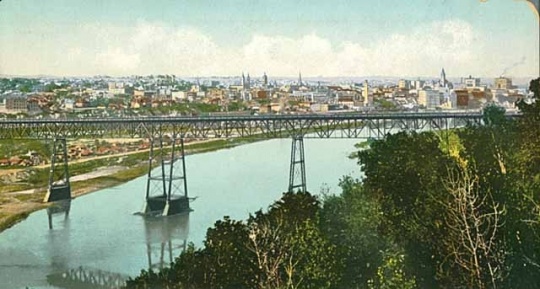
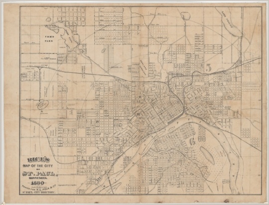
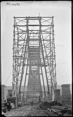
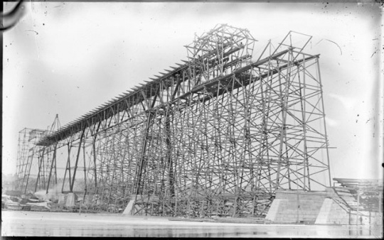
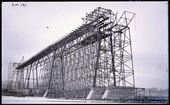
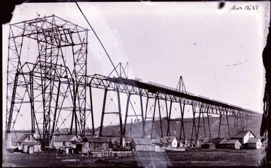
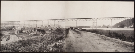
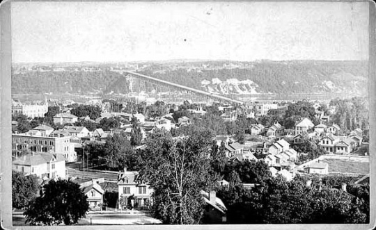
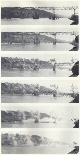
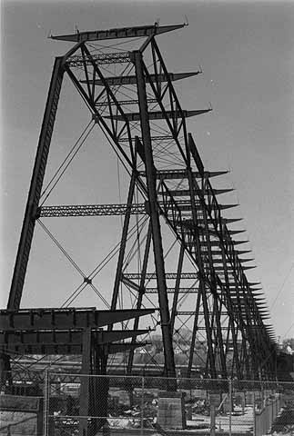
St. Paul's Original High Bridge

Bibliography
Bryan, Barbara and Constance Lepro. "Spanning a Century." Twin Cities (February 1985): 21–24.
http://www.writingthatmeansbusiness.net/img/articles/SpanningACentury.pdf
Hodapp, Susan. "Smith Avenue High Bridge (High Bridge)." Historic American Engineering Record MN-5, Typescript. Denver, CO: National Park Service, Rocky Mountain Regional Office, Department of the Interior, 1985. http://cdn.loc.gov/master/pnp/habshaer/mn/mn0000/mn0076/data/mn0076data.pdf
Millett, Larry. Twin Cities Then and Now. St. Paul: MNHS Press, 1996.
St. Paul's High Bridge 1889–1985, A Photo-Essay of the History of a St. Paul Landmark. Oakdale, MN: Minnesota Department of Transportation, 1985.
http://archive.leg.state.mn.us/docs/pre2003/other/851419.pdf.
Related Images


Chronology
1851
1859
1874
1886
1887
1889
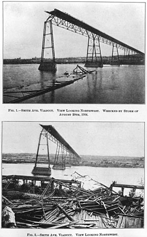
1904
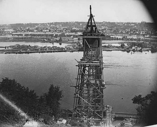
1905
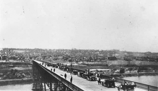
1958
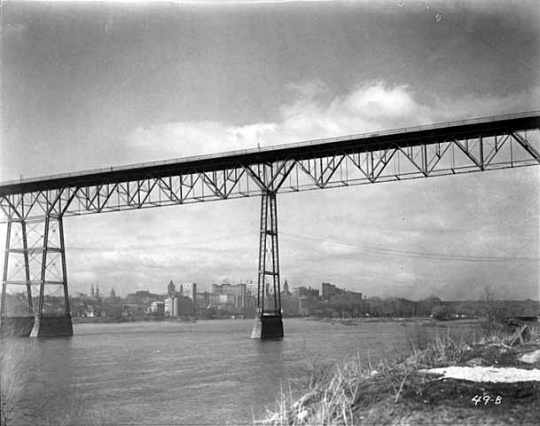
1977
1985
1987
Bibliography
Bryan, Barbara and Constance Lepro. "Spanning a Century." Twin Cities (February 1985): 21–24.
http://www.writingthatmeansbusiness.net/img/articles/SpanningACentury.pdf
Hodapp, Susan. "Smith Avenue High Bridge (High Bridge)." Historic American Engineering Record MN-5, Typescript. Denver, CO: National Park Service, Rocky Mountain Regional Office, Department of the Interior, 1985. http://cdn.loc.gov/master/pnp/habshaer/mn/mn0000/mn0076/data/mn0076data.pdf
Millett, Larry. Twin Cities Then and Now. St. Paul: MNHS Press, 1996.
St. Paul's High Bridge 1889–1985, A Photo-Essay of the History of a St. Paul Landmark. Oakdale, MN: Minnesota Department of Transportation, 1985.
http://archive.leg.state.mn.us/docs/pre2003/other/851419.pdf.