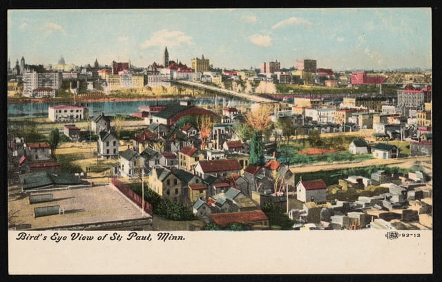
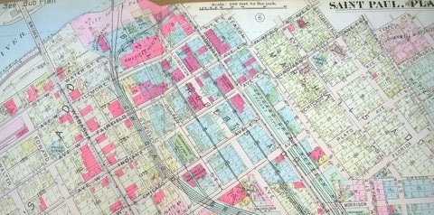
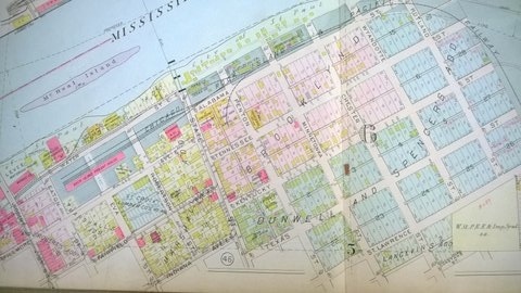
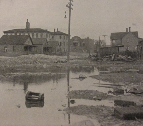
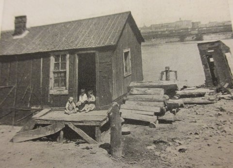
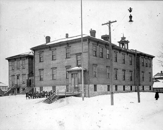
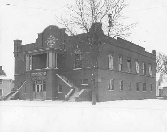
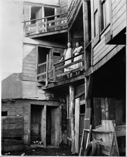
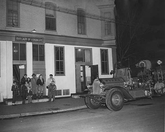
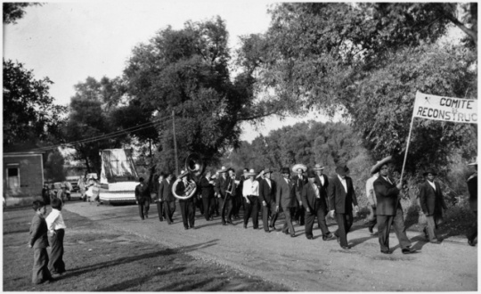
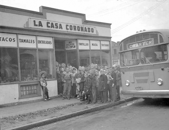
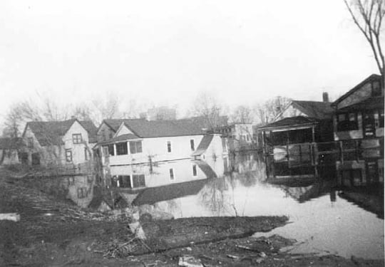
West Side Flats, St. Paul

Bibliography
Holmquist, June Drenning, ed. They Chose Minnesota: A Survey of the State’s Ethnic Groups. St. Paul: Minnesota Historical Society Press, 1981.
Kunz, Virginia Brainerd, ed. Discover St. Paul: A Short History of Seven St. Paul Neighborhoods. St. Paul: Ramsey County Historical Society, 1979.
Moran, Gerard. The James Hack Tuke Emigration Schemes from Connemara, 1882–1884. Galway County Heritage Office.
https://heritage.galwaycommunityheritage.org/content/topics/galway-emigration-and-diaspora-connections/tuke-emigration-scheme/the-james-hack-tuke-emigration-schemes-from-connemara-1882-4
Pierce, Lorraine E. “The Jews of St. Paul’s Lower West Side.” American Jewish Archives 28, no. 2 (November 1976): 149.
——— . "St. Paul’s Lower West Side." Master’s Thesis University of Minnesota, Minneapolis, 1971.
Rosenblum, Gene H. The Lost Jewish Community of the West Side Flats 1882–1962. Chicago: Arcadia Publishing Co., 2002.
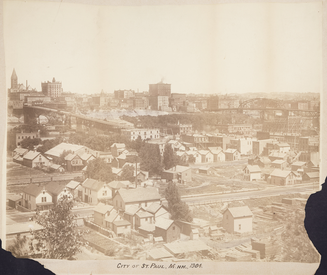
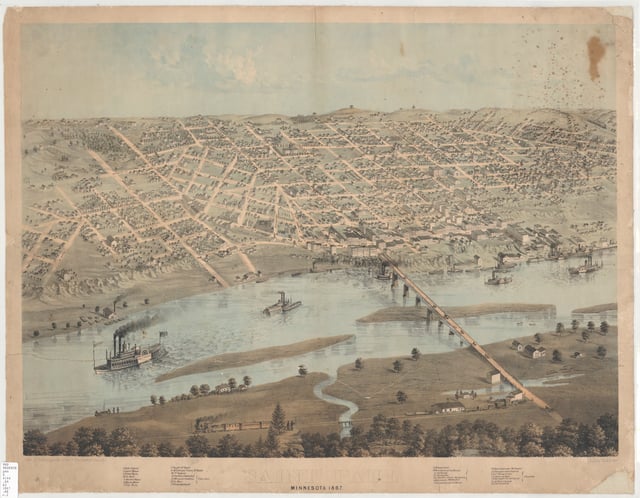
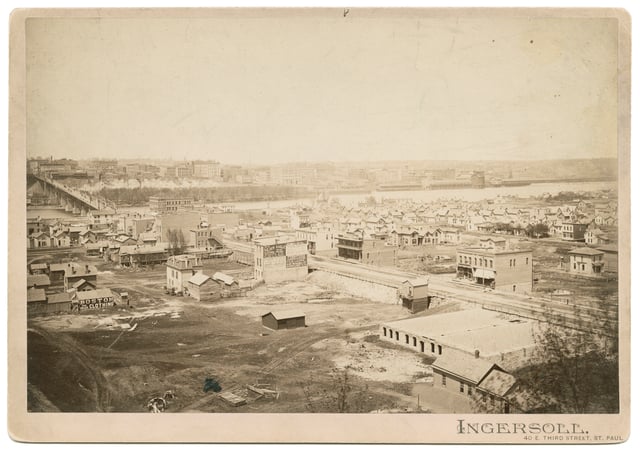
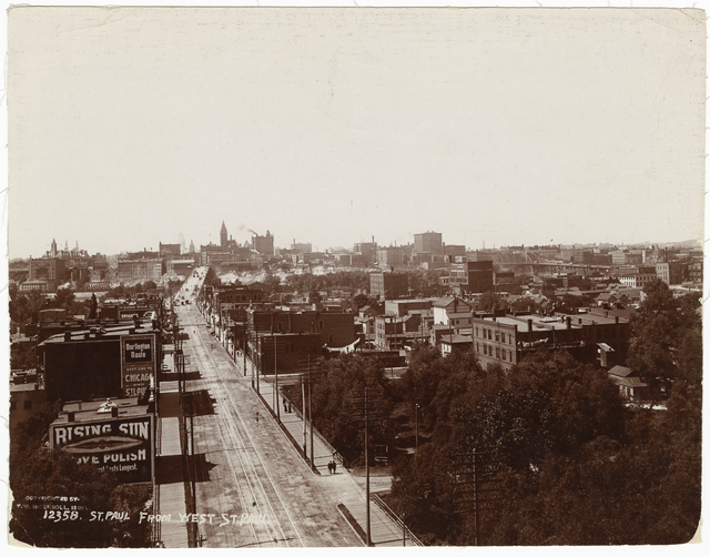
Related Images


Chronology
1851
1866
1874
1882
1886
1889
1915
1917
1930
1931
1938
1952
1956
1961
1962
1964
Bibliography
Holmquist, June Drenning, ed. They Chose Minnesota: A Survey of the State’s Ethnic Groups. St. Paul: Minnesota Historical Society Press, 1981.
Kunz, Virginia Brainerd, ed. Discover St. Paul: A Short History of Seven St. Paul Neighborhoods. St. Paul: Ramsey County Historical Society, 1979.
Moran, Gerard. The James Hack Tuke Emigration Schemes from Connemara, 1882–1884. Galway County Heritage Office.
https://heritage.galwaycommunityheritage.org/content/topics/galway-emigration-and-diaspora-connections/tuke-emigration-scheme/the-james-hack-tuke-emigration-schemes-from-connemara-1882-4
Pierce, Lorraine E. “The Jews of St. Paul’s Lower West Side.” American Jewish Archives 28, no. 2 (November 1976): 149.
——— . "St. Paul’s Lower West Side." Master’s Thesis University of Minnesota, Minneapolis, 1971.
Rosenblum, Gene H. The Lost Jewish Community of the West Side Flats 1882–1962. Chicago: Arcadia Publishing Co., 2002.