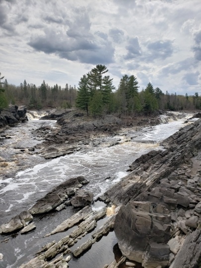
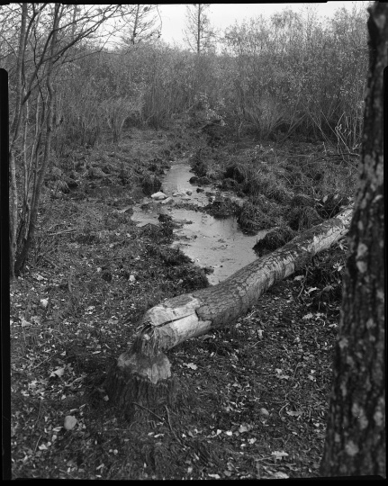
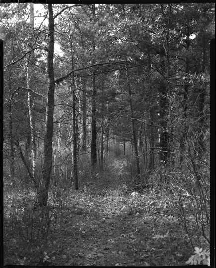
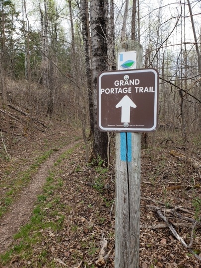
Northwest Trail

Bibliography
Durand, Paul. Where the Waters Gather and the Rivers Meet: An Atlas of the Eastern Sioux. [Prior Lake, MN:] Paul C. Durand, 1994.
Fritzen, John. Portages and Old Trails In and Adjacent to Jay Cooke State Park. [Duluth, MN]: Duluth Public Library, 1935
.
——— . The History of Fond du Lac and Jay Cooke Park. Duluth, MN: St. Louis County Historical Society, 1978.
Luukkonen, Larry. Between the Waters: Tracing the Old Northwest Trail from Lake Superior to the Mississippi. Duluth, MN: Dovetailed Press, 2007.
Warren, William W. A History of the Ojibwe People. Second edition. St. Paul: Minnesota Historical Society Press, 2009.
Westerman, Gwen, and Bruce White. Mni Sota Makoce: The Land of the Dakota. St. Paul: Minnesota Historical Society Press, 2012.
Related Images


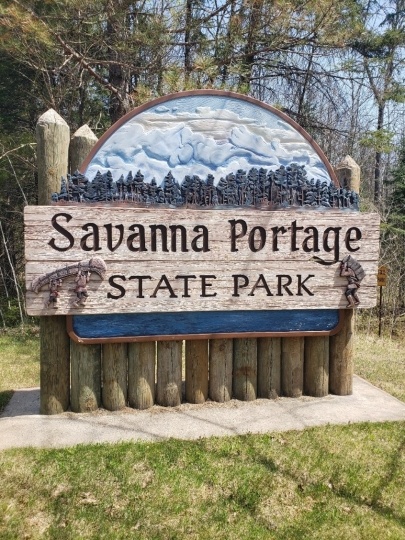
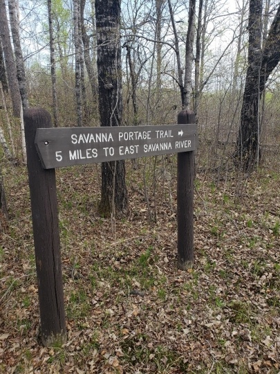
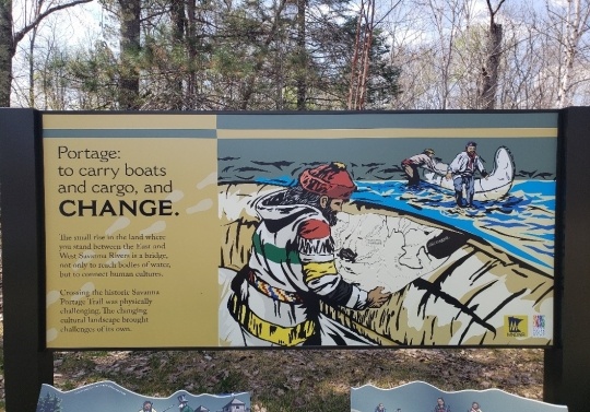
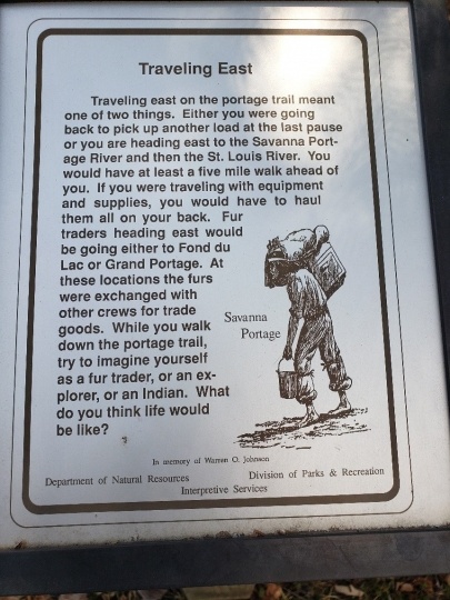
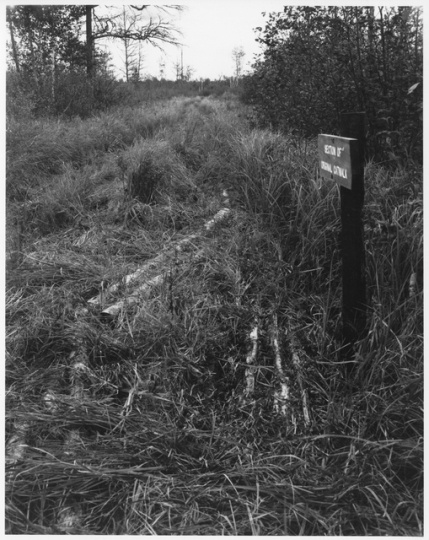
Interpretive sign along Savanna Portage
Interpretive sign along Savanna Portage, 2018. Photograph by Jon Lurie; used with the permission of Jon Lurie.
Holding Location
Articles
Chronology
Pre-1650
1666
1679
1755
1765
1768
1798
1847
1870
1878
1915
1961
Bibliography
Durand, Paul. Where the Waters Gather and the Rivers Meet: An Atlas of the Eastern Sioux. [Prior Lake, MN:] Paul C. Durand, 1994.
Fritzen, John. Portages and Old Trails In and Adjacent to Jay Cooke State Park. [Duluth, MN]: Duluth Public Library, 1935
.
——— . The History of Fond du Lac and Jay Cooke Park. Duluth, MN: St. Louis County Historical Society, 1978.
Luukkonen, Larry. Between the Waters: Tracing the Old Northwest Trail from Lake Superior to the Mississippi. Duluth, MN: Dovetailed Press, 2007.
Warren, William W. A History of the Ojibwe People. Second edition. St. Paul: Minnesota Historical Society Press, 2009.
Westerman, Gwen, and Bruce White. Mni Sota Makoce: The Land of the Dakota. St. Paul: Minnesota Historical Society Press, 2012.