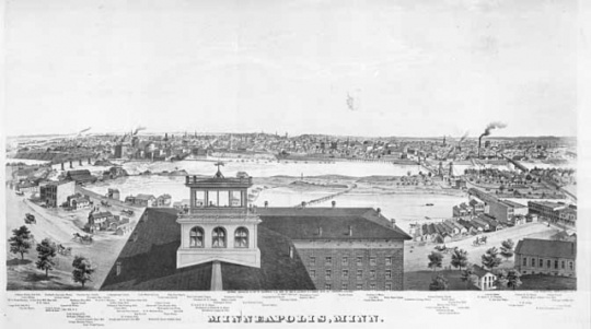
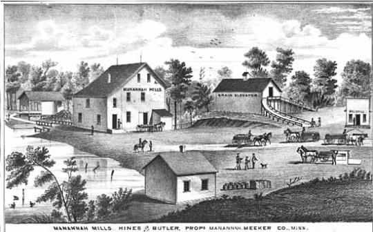
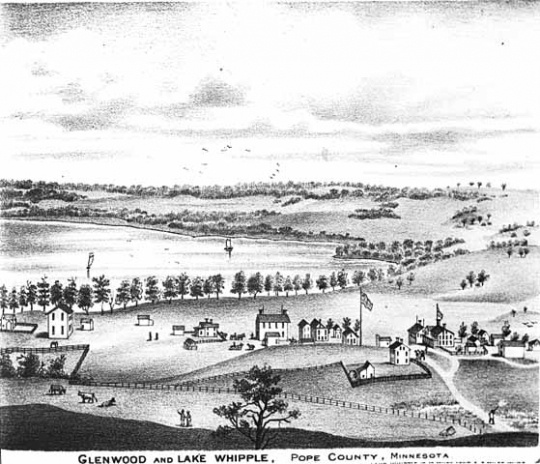
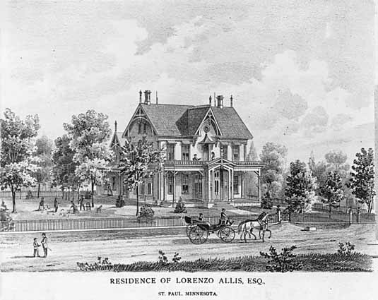
Illustrated Historical Atlas of the State of Minnesota, 1874

Bibliography
Conzen, Michael P. "Maps for the Masses: Alfred T. Andreas and the Midwestern County Atlas Map Trade." In Chicago Mapmakers, edited by Michael P. Conzen, 47–63. Chicago: Chicago Historical Society, 1984.
Lanegran, David A. Minnesota on the Map: A Historical Atlas of Minnesota. St. Paul: Minnesota Historical Society Press, 2008.
Ristow, Walter W. "Alfred T. Andreas and his Minnesota Atlas." Minnesota History 40, no. 3 (Fall 1966): 120–129. http://collections.mnhs.org/MNHistoryMagazine/articles/40/v40i03p120-129.pdf
Related Images


Chronology
1839
1867
1873
1874
Bibliography
Conzen, Michael P. "Maps for the Masses: Alfred T. Andreas and the Midwestern County Atlas Map Trade." In Chicago Mapmakers, edited by Michael P. Conzen, 47–63. Chicago: Chicago Historical Society, 1984.
Lanegran, David A. Minnesota on the Map: A Historical Atlas of Minnesota. St. Paul: Minnesota Historical Society Press, 2008.
Ristow, Walter W. "Alfred T. Andreas and his Minnesota Atlas." Minnesota History 40, no. 3 (Fall 1966): 120–129. http://collections.mnhs.org/MNHistoryMagazine/articles/40/v40i03p120-129.pdf