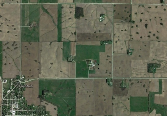
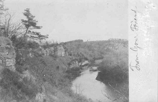
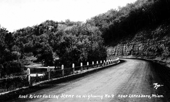
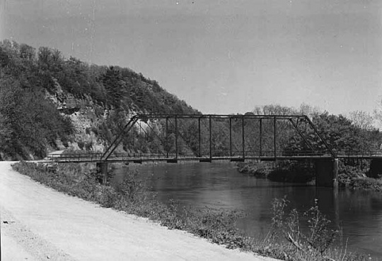
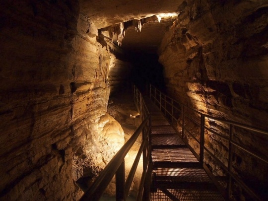
Karst Topography in Fillmore County

Bibliography
Bertalan, Dan, and Rob Nelson. “Mysteries of the Driftless–‒The Documentary.” YouTube. Posted by Untamed Science, September 17, 2013.
https://www.youtube.com/watch?v=xn_DOPumFkU
“Finding Minnesota: The Cave That Pigs Discovered.” WCCO TV, July 6, 2014.
http://minnesota.cbslocal.com/2014/07/06/finding-minnesota-the-cave-that-pigs-discovered/
Karst Interpretive Site. Harmony Area Historical Society.
https://www.exploreharmony.com/harmony-area-historical-society/karst-interpretive-site/
Haynes, Cyd. “3 ½ Hours to Natural Wonder.” Maple Grove magazine, July 2014.
http://maplegrovemag.com/3%C2%BD-hours-natural-wonder
Karst topography exhibit. Harmony Visitor Center (Harmony, Minnesota), May 2018.
“Niagara Cave Celebrates 80 Years.” KTTC, June 11, 1014.
Weiss, John. “Niagara Cave Celebrates 90 Years, With Lantern Light.” Rochester Post-Bulletin, June 7, 2014.
http://www.postbulletin.com/news/local/niagara-cave-celebrates-years-with-lantern-light/article_fb193f37-706c-57a9-99a0-0d857e2ea4c1.html
Related Images


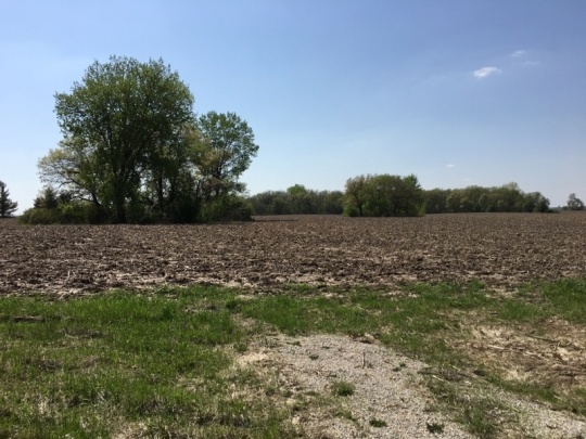
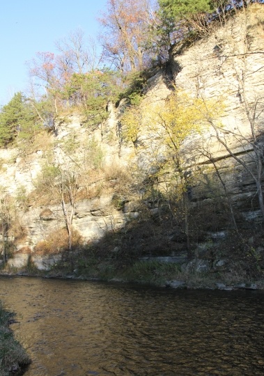
Limestone bluff along the north branch of the Root River
Holding Location
Articles
More Information
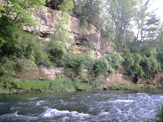
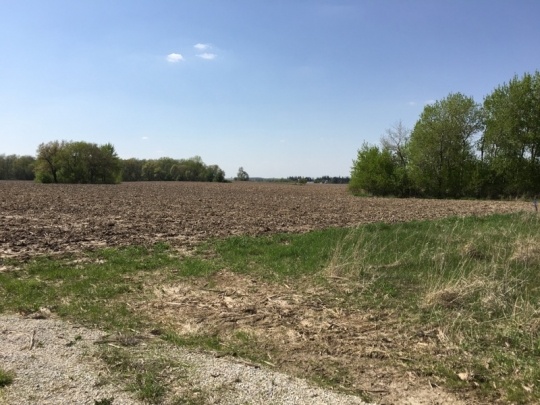
Root River limestone bluff, Preston, Minnesota
Holding Location
Articles
More Information
Chronology
470,000,000 BCE
400,000 BCE
14,000 - 12,000 BCE
1924
1934
1937
1947
1989
Bibliography
Bertalan, Dan, and Rob Nelson. “Mysteries of the Driftless–‒The Documentary.” YouTube. Posted by Untamed Science, September 17, 2013.
https://www.youtube.com/watch?v=xn_DOPumFkU
“Finding Minnesota: The Cave That Pigs Discovered.” WCCO TV, July 6, 2014.
http://minnesota.cbslocal.com/2014/07/06/finding-minnesota-the-cave-that-pigs-discovered/
Karst Interpretive Site. Harmony Area Historical Society.
https://www.exploreharmony.com/harmony-area-historical-society/karst-interpretive-site/
Haynes, Cyd. “3 ½ Hours to Natural Wonder.” Maple Grove magazine, July 2014.
http://maplegrovemag.com/3%C2%BD-hours-natural-wonder
Karst topography exhibit. Harmony Visitor Center (Harmony, Minnesota), May 2018.
“Niagara Cave Celebrates 80 Years.” KTTC, June 11, 1014.
Weiss, John. “Niagara Cave Celebrates 90 Years, With Lantern Light.” Rochester Post-Bulletin, June 7, 2014.
http://www.postbulletin.com/news/local/niagara-cave-celebrates-years-with-lantern-light/article_fb193f37-706c-57a9-99a0-0d857e2ea4c1.html