

Directions and Transportation
Historic Fort Snelling is located at the junction of Minnesota Highways 5 and 55, one mile east of Minneapolis–St. Paul International Airport (MSP).
Address
200 Tower Ave
St. Paul, MN 55111
ftsnelling@mnhs.org
612-726-1171
Construction
Road construction can often impact travel when visiting Historic Fort Snelling. Please refer to MnDOT for the most up-to-date travel information.
Driving
Take the exit toward “Bloomington Rd/For Snelling Historic Site.” Follow the signs for “Fort Snelling Historic Site” to the historic site.
If you are using a GPS/navigation software, make sure to enter “Historic Fort Snelling” in your search.
NOTE: Do not follow the signs for “Fort Snelling State Park,” which is a different destination than Historic Fort Snelling.
Parking
Daily parking fee is $6. MNHS Members receive a $2 discount during open site hours (discount validation available inside visitor center at info desk only).
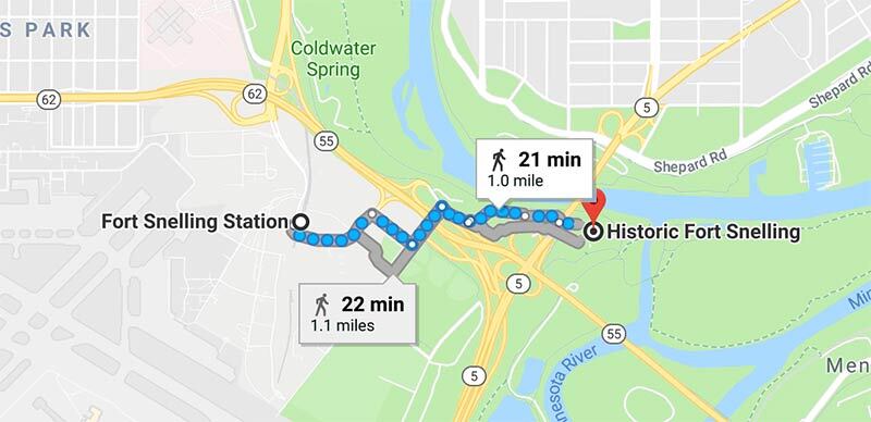
Light rail train
The Metro Blue Line Fort Snelling Station is located adjacent to the Bishop Whipple Federal Building parking lots. From the light rail station, it is a 15-20 minute walk to the historic fort.
CAUTION: Please note that when walking to the historic fort from the light rail station there are blind corners and fast-moving traffic, particularly along Bloomington Road. Please exercise extreme caution when walking in this area.
Bike
The most popular way to bike to the site is via the Fort Snelling State Trail (PDF), which connects to the 53-mile long Grand Rounds Scenic Bikeway at Minnehaha Falls in Minneapolis. The trailhead is located just south of Minnehaha Park, near E 54th St and MN Hwy 55 in Minneapolis.
Looking for something else?
There are many neighboring organizations not affiliated with Historic Fort Snelling, some with similar names: